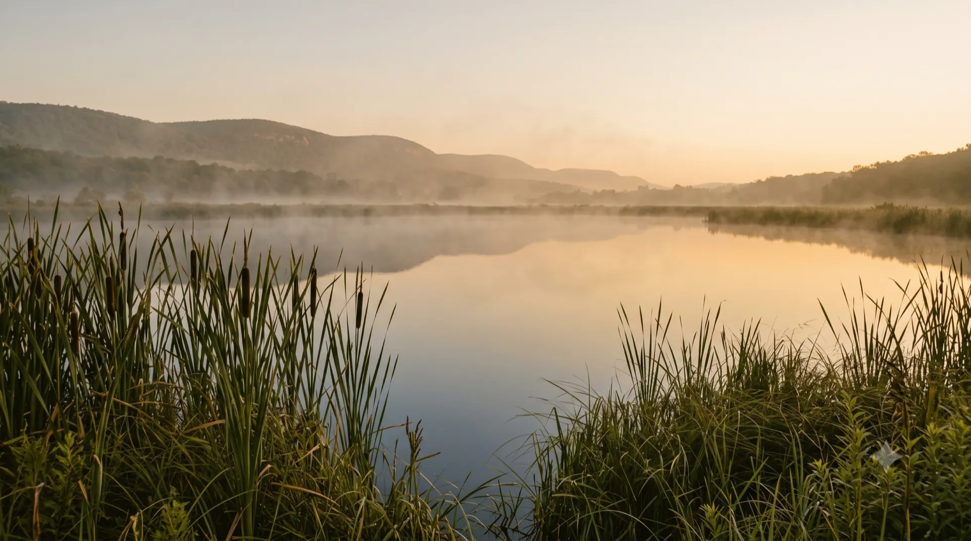
THE LAND · AT A GLANCE
The Ridge

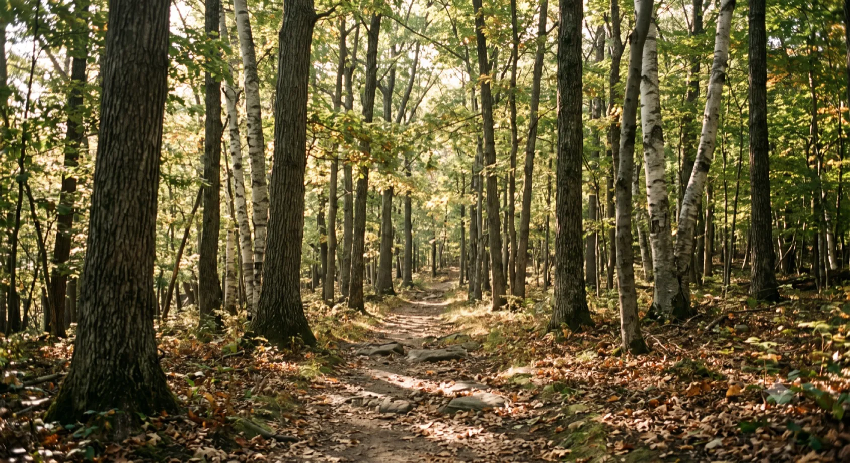
The Shawangunk Ridge is quartzite, a hard white rock laid down under an ancient sea and lifted and worn back down over five hundred million years. This is its quiet southern end. No carriage roads. No mountain houses. No crowds working toward a view.
Just the ridge doing what it has always done, which is stand there and outlast everything that arrives to look at it. This is the terrain the property is built into. Not adjacent to. Built into.
The Trails
A hundred and fifty feet from the door, two of the Northeast's long trails run the same line. The Long Path, more than three hundred and fifty miles from the George Washington Bridge to the Albany hills, and the Shawangunk Ridge Trail, seventy-odd miles of blue blazes from the Appalachian Trail to Rosendale, cross together at Gobblers Knob. You can step onto them in a morning.
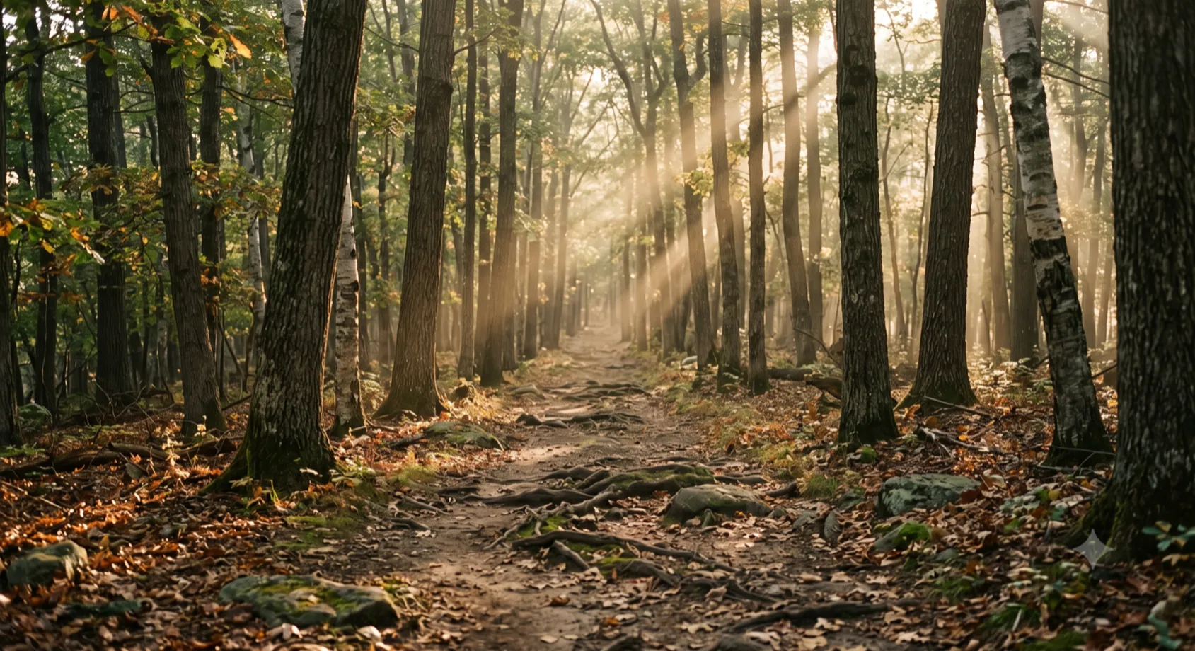
The Long Path · 150 feet from the door
| Trail or place | Distance / length | From our door |
|---|---|---|
| Long Path | Distance / length~356 mi (GWB to Albany) | From our door150 ft, at Gobblers Knob |
| Shawangunk Ridge Trail | Distance / length~71 mi (AT to Rosendale) | From our door150 ft, co-aligned at Gobblers Knob |
| Gobblers Knob summit | Distance / length3.8 mi round trip, 885 ft | From our doorA moderate half-day, blue blazes |
| Neversink Gorge and Denton Falls | Distance / length14+ mi of trail | From our doorA short drive north |
| Bashakill wetland | Distance / length3,000+ acres, 200+ birds | From our doorA ten-minute walk north |
| D and H Canal Park, CuddebackvilleNeversink Valley Museum | From our doorAbout ten minutes |
A guest who wants a single afternoon and a guest who wants a four-day section hike are both within walking distance of what they need.
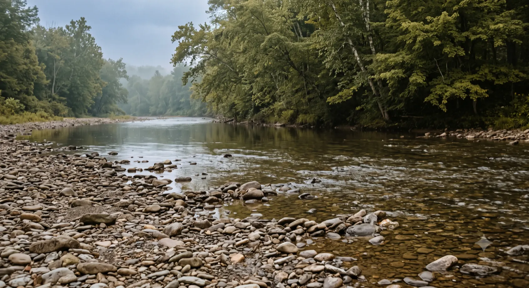
Neversink River · A Few Miles North
The Water
The Neversink runs cold and clear a few miles north, through a gorge the Nature Conservancy named one of seventy-five Last Great Places on Earth. The proof of it lives on the riverbed.
Dwarf Wedgemussel
The dwarf wedgemussel, a small freshwater mussel gone from most of its old range, survives here because the water is clean enough.
Cuddebackville Dam
In 2004 the Conservancy took out the Cuddebackville dam that had blocked the migratory fish for two centuries, and the shad came back.
The Bashakill
Wild brook trout hold in the shade. Eagles and osprey work the Bashakill, a ten-minute walk to the north, two hundred species of bird passing on the migrations, beaver and otter in the shallows.
The Bashakill · A Ten-Minute Walk North

Great Blue Heron · The Bashakill
Great Blue Heron · The Bashakill
What It Means to Be Here
You do not come here to be entertained by the scenery. You come to do things in it that are hard.
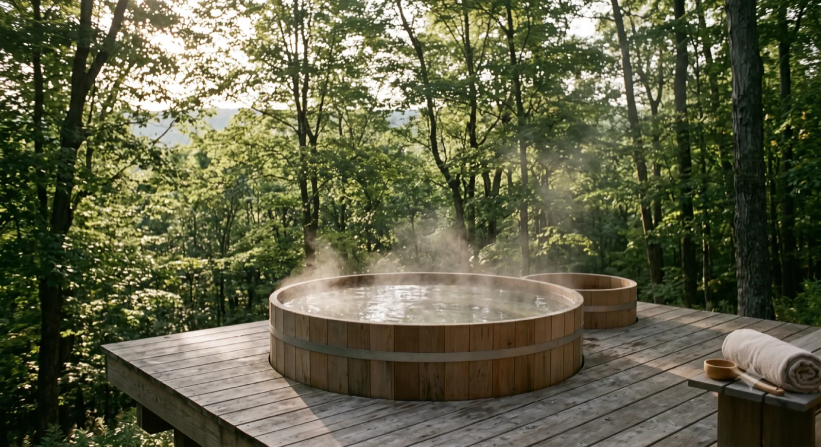
Cedar Soak Tub · Cold Plunge Deck
There is a bow and a line of targets at the forest edge. Archery is one of the oldest disciplines a body knows, and it teaches the same lesson every time: you cannot force the shot, you can only steady yourself and release. A leader who has spent a decade forcing things through relearns something in an afternoon of it. The nervous system settles. Confidence stops being a performance and becomes a fact.
There is a tent set apart from the rest, canvas and daylight, where the thinking happens. No screens. No slides. A place to put the signal down on paper before it scatters, to work a decision through with the people who will have to live with it, and to carry a plan home.
And there is the thing that only happens when a small group does something demanding together, in a place like this, with nothing to hide behind. Anthropologists have a word for it: communitas, the bond that forms among people who go through an ordeal side by side and come out changed. It cannot be scheduled or bought. It is made, here, by the fire, on the trail, at the targets.
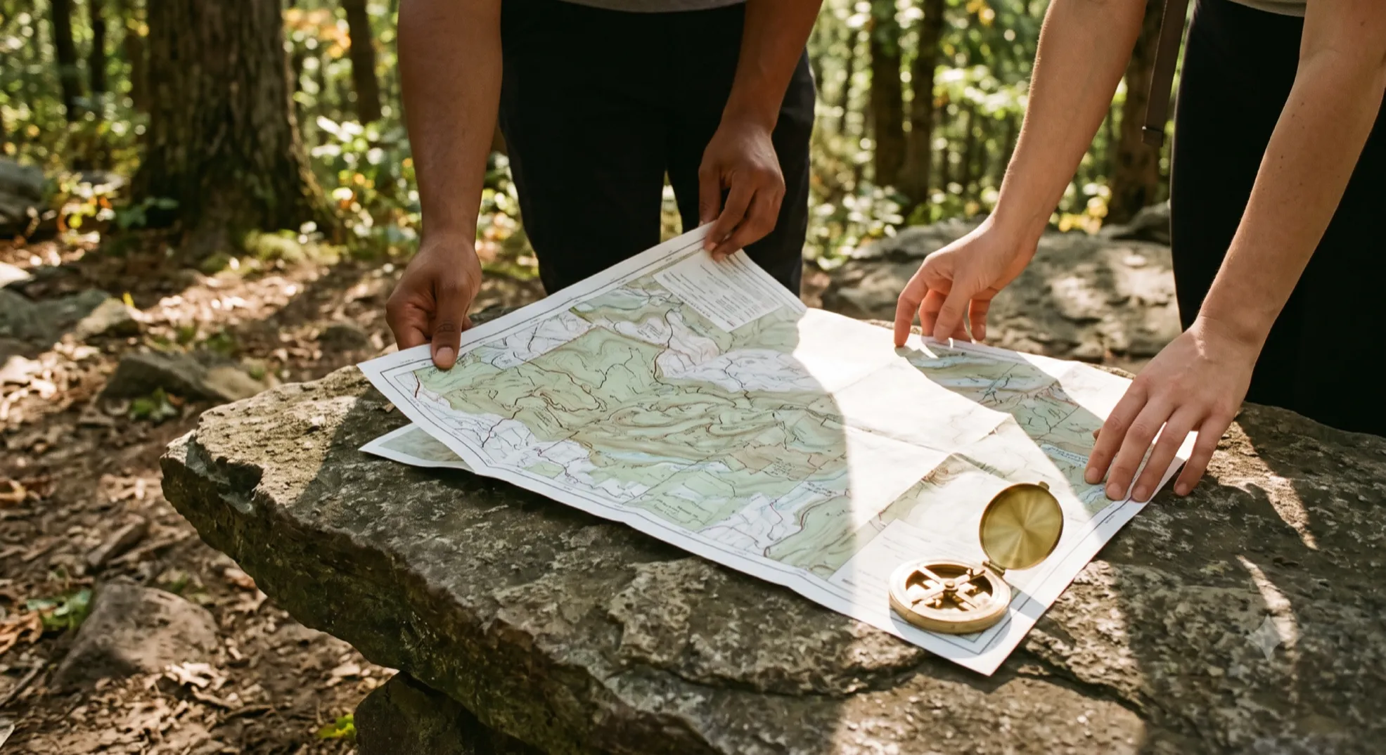
Trail Mapping · Navigation on the Land
Most retreats sell a programme. This one offers a place that was already doing the work, five hundred million years before anyone arrived to notice.
The Campus
Every structure on the property earns its place by supporting the work of being here: quiet study, real skill, and time spent thinking instead of escaping. This is a campus in the oldest sense of the word, ground set aside for people to learn something that matters.
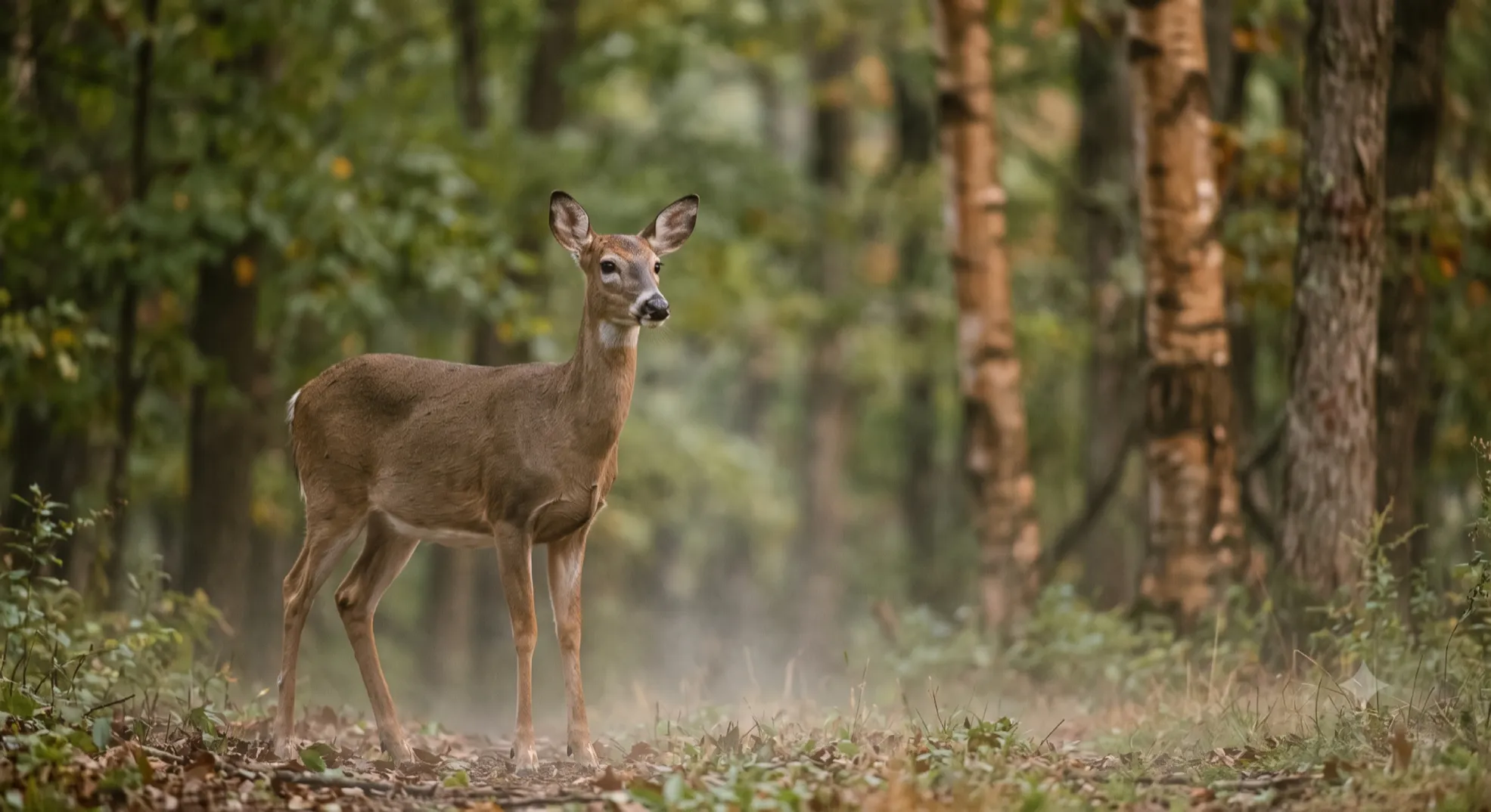
White-tailed deer at the forest edge
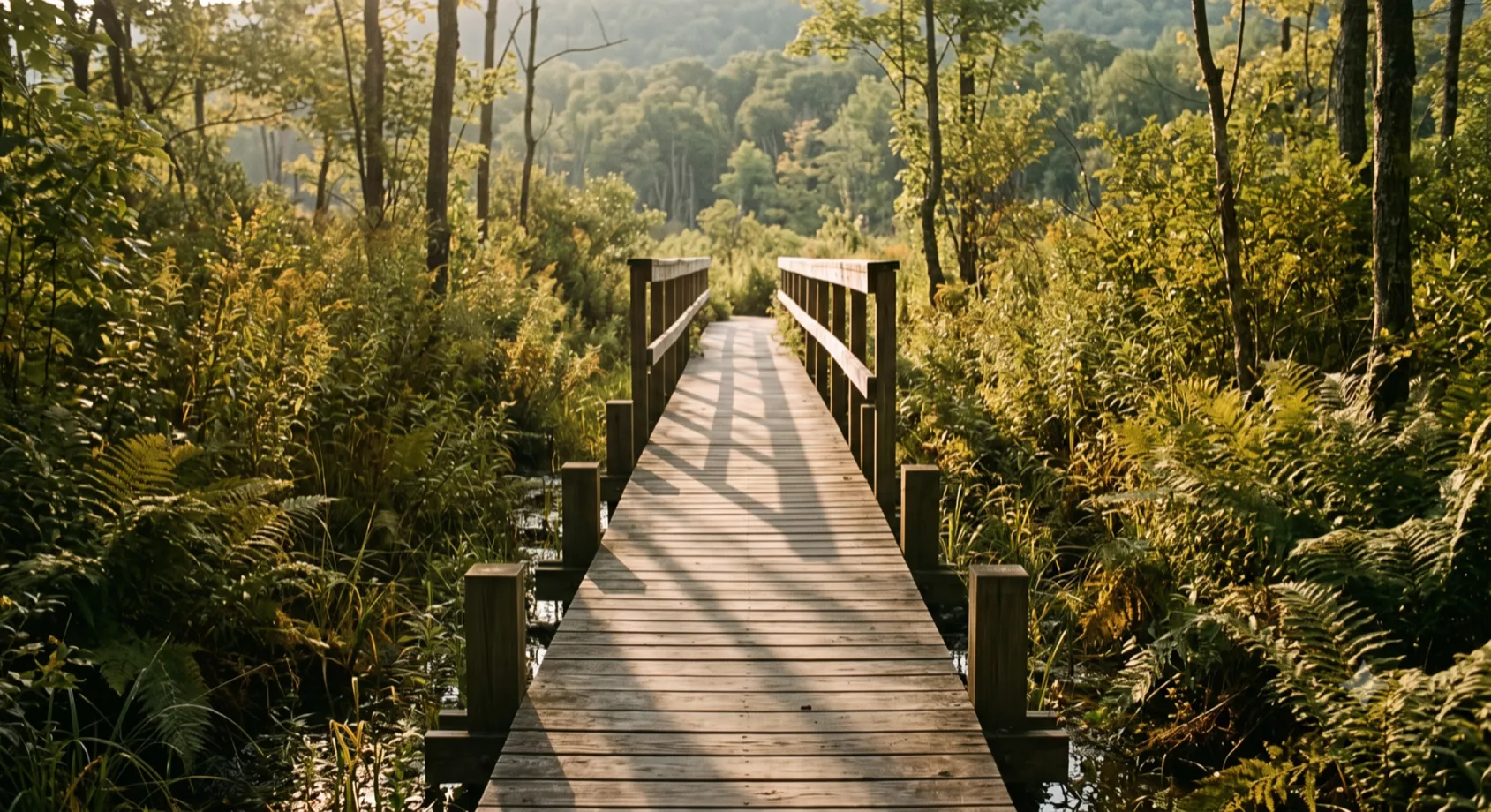
Boardwalk over the wetland marsh
Boardwalk over the wetland marsh
On Campus - Guest Facilities
The Bathhouse
Thermal loop, sauna into cold plunge, a full glass wall onto the outdoor lounge.
Mountainside Safari Yurts
Elevated tent structures at the tree line, built for sleeping close to the ridge.
The Library Bar
A speakeasy-themed library, designed for choosing the books you will carry onto the land or for sitting still with one for hours. The bar is self-serve: help yourself to refreshments, and enjoy the local ingredients & recommendations.
The Archery Range
Eight lanes, built to still your hand and connect it to a settling mind, not for scorekeeping.
The Educational Platform
Where the Back to Human teach-ins run: practical sessions that become exercises you can take up anywhere on the land.
Back to Human
Shelter building, fire craft, and trail work: the skills that predate every convenience.
The Yurt
Thirty feet across, one room, no screens. The cohort eats here, and this is where strategy gets written by hand before anyone leaves.
The Fire
Lit at dusk, burns until the last person goes to bed. Sixteen seats around a four-foot bowl. Nothing that happens here is on the schedule: the long stories, the short ones, the thing you have not said out loud to anyone in a year.
The Path
One trail links the fire, the yurt, the bathhouse and the tents. It was cut to be walked in the dark, which is when most people use it. Stay on it at night and you will find your bed faster.
The Herb Garden
Raised beds, ten feet square, whatever is up that week. Mint, basil, rosemary, thyme. Cut what you need for the kitchen or for the glass in your hand. It is there to be used.
The Sitting Places
Points on the land where the trail widens and there is somewhere to wonder, ponder & sit with it.
Within Reach
The Bashakill
A 3,000-acre freshwater wetland and birding sanctuary; eagles and osprey work the shallows. At the north of the property the Gobblers Knob trail descends straight into the wetland: walk off the land and turn directly onto the Bashakill trail.
The Bashakill Winery
A simple, beautiful venue for tasting local wines, a short walk or bike ride around the corner.
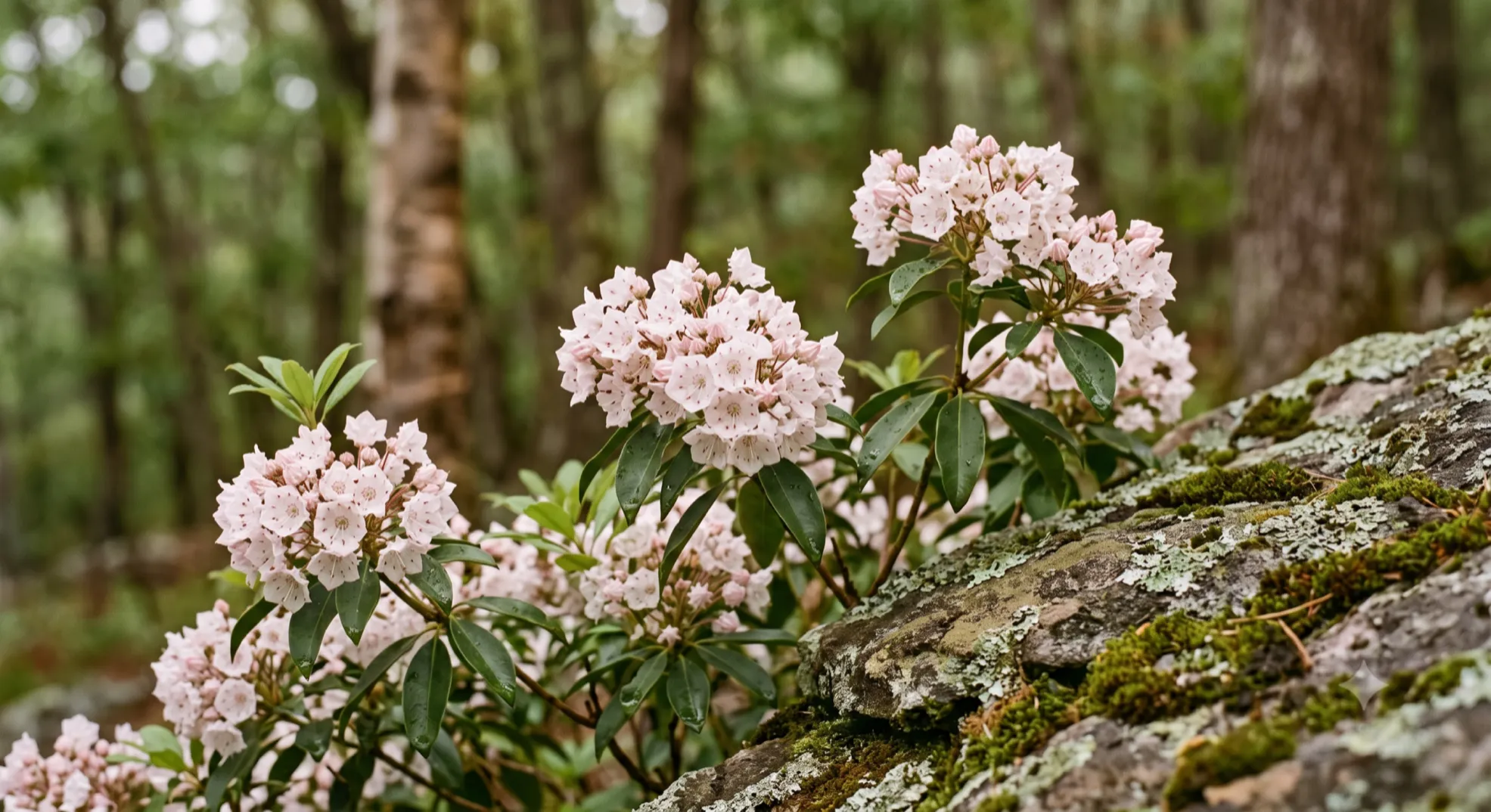
Wild Mountain Laurel · The Neversink Foothills
129 Otisville Road (County Route 61), Westbrookville, New York, on the edge of Gobblers Knob State Forest. Ninety minutes from the George Washington Bridge.
About 150 feet from the property. The Long Path and the Shawangunk Ridge Trail run together over Gobblers Knob, reachable on foot in a morning.
Yes. The Neversink River Unique Area, with its gorge, waterfalls, and fourteen miles of trail, is a short drive north. It holds wild brook trout and some of the cleanest water in the state.
Almost certainly. Eagles and osprey hunt the Bashakill wetland, a ten-minute walk north of the property, which draws more than two hundred bird species across the migrations. Beaver, otter, and the resident predators of the ridge move through the surrounding forest.
The season runs from mid-April to mid-October.
From Penn Station in Manhattan it is about a two-hour train ride to Otisville station, a five-minute drive from the property. We can arrange collection from the station.
Two nights is enough to feel the place change your pace. Four is enough to let it change something that lasts. Come and see the land, and decide for yourself which you need.
Dispatches from the field of human renewal. Irregular essays on leadership, nature, and the practice of becoming human again.
Subscribe